
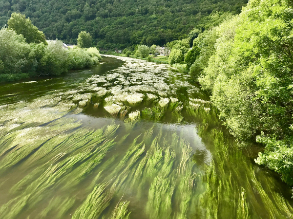
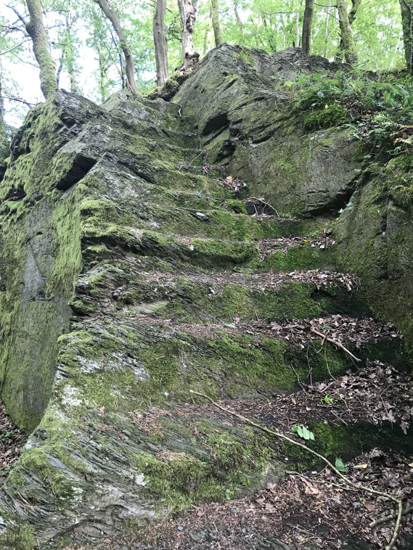
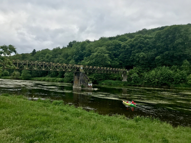
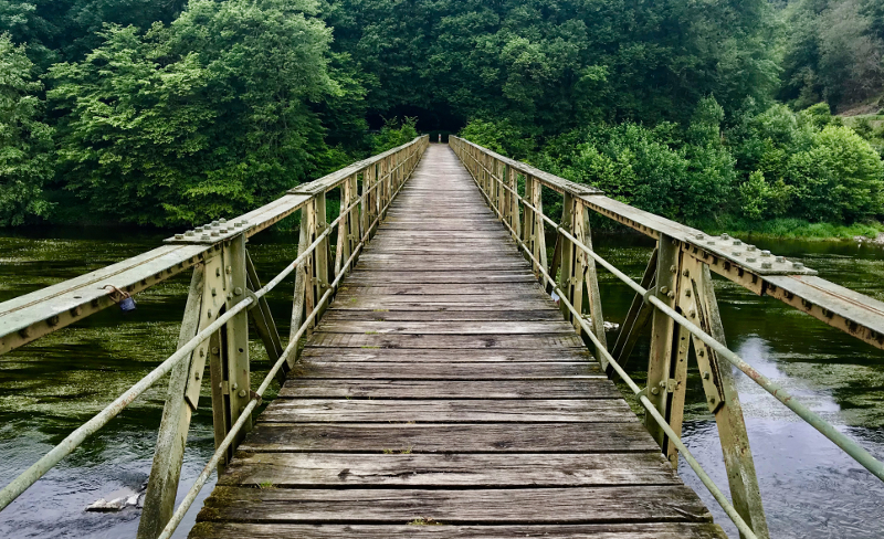
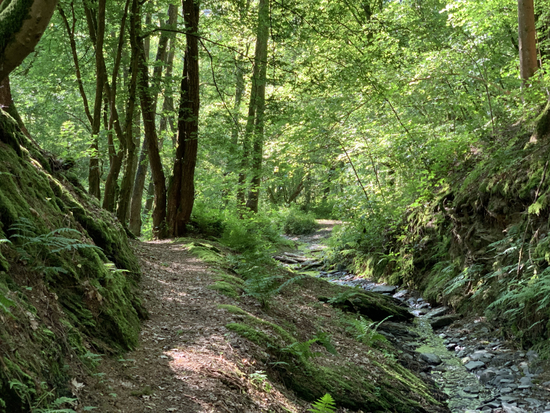
Starting from the Hautes-Rivières (starting point of the Ardenne Mega Trail event), discover the meanders of the Semoy and the forest massifs between the villages of Hautes-Rivières, Naux and Linchamps. This itinerary alternating relatively steep climbs and descents, will make you discover the richness of the playgrounds offered by the Ardennes massif and will provide you with a beautiful training ground for a long outing while reviving.
Warning : in order to limit the markings, only the green and blue routes are marked out. To navigate on the red routes, use the other navigation media at your disposal : GPX track, roadbook sheets or mobile app.

- Distance 25.1 km
- Elevation gain 1110 m
- Elevation lost 1110 m
- Min. elevation 151 m
- Max. elevation. 372 m
- Duration (depending on pace) 3h - 6h
- Marking No
Sebastien Castillo
Sebastien Castillo


the digital trails

![]()
Info & contacts
Communauté de Communes Vallées et Plateau d'Ardenne
6 rue de Montmorency - BP41
08230 Rocroi
ardennesportsnature@ccvpa.fr
Tel : 03 24 36 08 61

