Route 31 red - Le Tour des Cols
Add to my favorites

Route closed
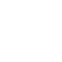
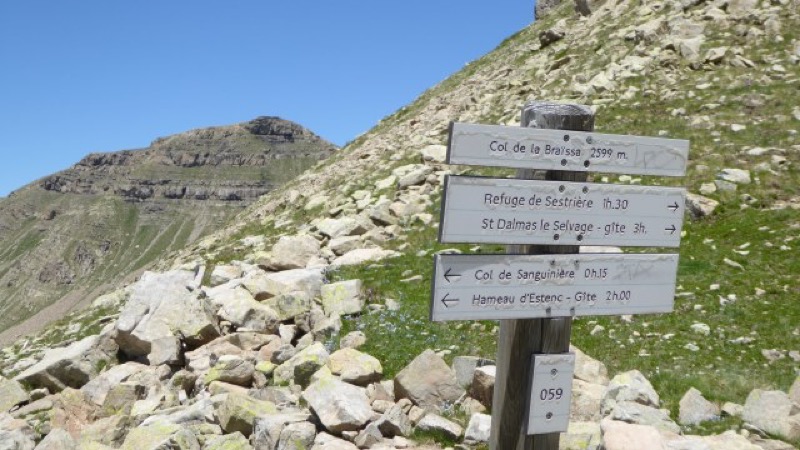
Starting in Saint Dalmas le Selvage, go up the Sestrière stream till its refuge. From there go through the Braisse glen till the Braissa pass (2599m). A last climb will take you till the Cime de la Plate pass (2728m). From the pass, you will get bak to the village through route and track.
The characteristics of the route.
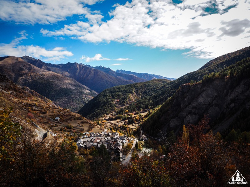
Saint-Dalmas-le-Selvage (06)
- Distance 26.7 km
- Elevation gain 1480 m
- Elevation lost 1480 m
- Min. elevation 1496 m
- Max. elevation. 2721 m
- Duration (depending on pace) 3h à 6h
Read before you go!
Course evolving in the Mercantour National Park. Dogs forbidden.
- Suivez les sentiers balisés, ne prenez pas de raccourcis
- Avant de vous engager sur un parcours, vérifiez la météo, vérifiez qu’il est adapté à votre niveau et laissez votre itinéraire à quelqu’un.
- Soyez prudents.
- Redoublez d’attention en période de chasse et renseignez-vous sur les battues en cours.
- Si vous rencontrez des chiens de protection de troupeaux, restez calme, évitez les gestes brusques et contournez le troupeau.
- Respectez les propriétés privées, les zones de cultures et fermez les barrières après votre passage.
- Ayez un comportement éco-citoyen : remportez vos déchets et respectez la faune et la flore pour une nature préservée.
- Veillez à toujours télécharger l'itinéraire ( GPX ) correspondant à l’itinéraire concerné.
Area : St Dalmas le Selvage
Report a problem 1 comment
Pdf map
Add your time and share your feelings


Follow us on
the digital trails
the digital trails


![]()
Info & contacts
Offices de Tourisme du territoire
Auron : +33(0)4 93 23 02 66
St Etienne de Tinée : +33(0)4 93 02 41 96
St Dalmas le Selvage : +33(0)4 93 02 46 40


OK
Annuler