
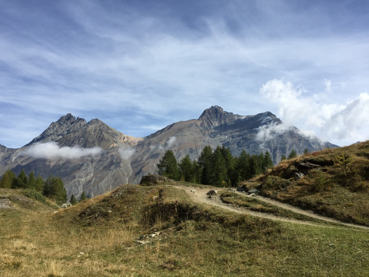
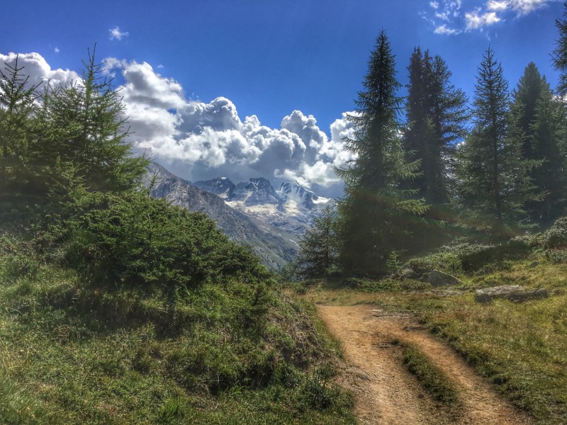
This historic route will take you to the Orvielle mountain pasture along a mule track, an old royal hunting route. You will start the route by climbing through a larch forest, on a regular slope, ideal for practising running uphill. At the top, you will discover Orvielle, a real haven of peace. Here you will find the "camp": a word in Valle d'Aostan dialect that indicates the hunting station where, in the middle of the 19th century, King Victor-Emanuel II of Savoy used to settle with his court to hunt ibex. This historical place is now used for scientific research. Take a short break to observe the marmots and chamois and admire the view of the Grand Paradis. You will then go back down to the hamlet of Créton on a single-track path in the forest, which is very pleasant to run on and offers many views of the valley. Once you arrive in Créton, you return to Dégioz by a grass path along the Savara torrent.

- Distance 10.7 km
- Elevation gain 740 m
- Elevation lost 740 m
- Min. elevation 1527 m
- Max. elevation. 2172 m
- Duration (depending on pace) 1h à 2h30
- Marking Trail-running signs n°B


Coming to Valsavarenche
![]()
Info & contacts
Comune di Valsavarenche
Loc. Dégioz, 166
11010 Valsavarenche (AO)
Tel. (+39) 0165 905703

